
Updated November 9, 2026
Savannah's Historic District
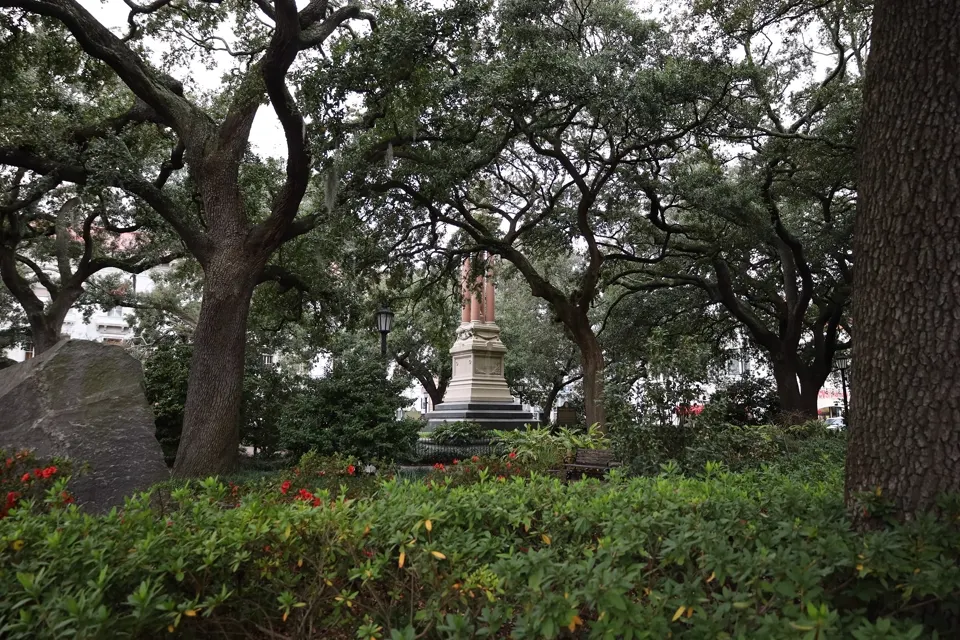
Photo: Live oaks in Wright Square by Antony-22, CC BY-SA 4.0.

In short
The Savannah Historic District is the city's original downtown, laid out from 1733 on James Oglethorpe's plan of wards built around public squares. It runs from the Savannah River south to Gwinnett Street, between East Broad Street and Martin Luther King Jr. Boulevard, and was designated a National Historic Landmark District on November 13, 1966. Ola's Oasis sits just south of it in the Victorian District.
The Oglethorpe plan
Savannah grew ward by ward. Each ward was built around a central square, with four trust lots on the east and west sides kept for churches, schools and markets, and four tythings of ten house lots each to the north and south. The first four squares were laid out in 1733, and by 1851 the plan had grown to 24 squares. South of Gaston Street the city stopped adding squares and made Forsyth Park its central green instead.
Three squares were lost to road and parking projects in the 20th century. Ellis Square, razed for a parking garage in 1954, reopened in 2010, so 22 squares survive today.
A short timeline
| 1733 | James Oglethorpe and the settlers from the ship Anne land at Yamacraw Bluff on February 12. |
|---|---|
| 1750 | Colonial Park Cemetery is established. |
| 1815 | Chippewa Square is laid out as the grid spreads south. |
| 1851 | The plan reaches 24 squares. |
| 1864 | City leaders surrender Savannah peacefully in December, and Union troops enter without destroying it. |
| 1954 | The market house on Ellis Square is torn down for a parking garage, which helps spark the preservation movement. |
| 1955 | Seven women found Historic Savannah Foundation and raise $22,500 to buy and save the 1820 Davenport House. |
| 1966 | The district is designated a National Historic Landmark District (November 13). |
| 2010 | Ellis Square reopens on March 11, bringing the count back to 22 squares. |
Places to see
- Chippewa Square: laid out in 1815, with the Oglethorpe Monument by Daniel Chester French, unveiled in 1910.
- River Street: former cotton warehouses along the river, with Factors Row above, where cotton brokers once traded.
- City Hall: built in 1904 and 1905 on Bay Street to a design by Hyman Witcover.
- City Market: centered on Ellis Square, where the city's market has stood since 1733.
- Cathedral Basilica of St. John the Baptist: on Lafayette Square, dedicated in 1876 and rebuilt after an 1898 fire.
- Owens-Thomas House: on Oglethorpe Square, a National Historic Landmark run by Telfair Museums, with one of the best-preserved urban slave quarters in the South.
- Mercer House: on Monterey Square, begun in 1860 and the setting of Midnight in the Garden of Good and Evil.
- Davenport House: on Columbia Square, built in 1820 and a museum since 1963.
How far from Ola's Oasis
| Place | Walking distance | On foot |
|---|---|---|
| North end of Forsyth Park (Gaston St and Bull St) | about 0.8 mi* | about 16 min* |
| Chippewa Square | about 1.3 mi* | about 27 min* |
| City Hall, above River Street | about 1.6 mi* | about 34 min* |
*Estimated from OpenStreetMap walking routes from the house. It is a short drive to all of them.
Where the two districts meet
The Historic District ends at Gwinnett Street, and the Victorian District begins there. Forsyth Park sits on that line: its northern section lies within the Landmark District, and its southern section is in the Victorian District, a short walk from the house.
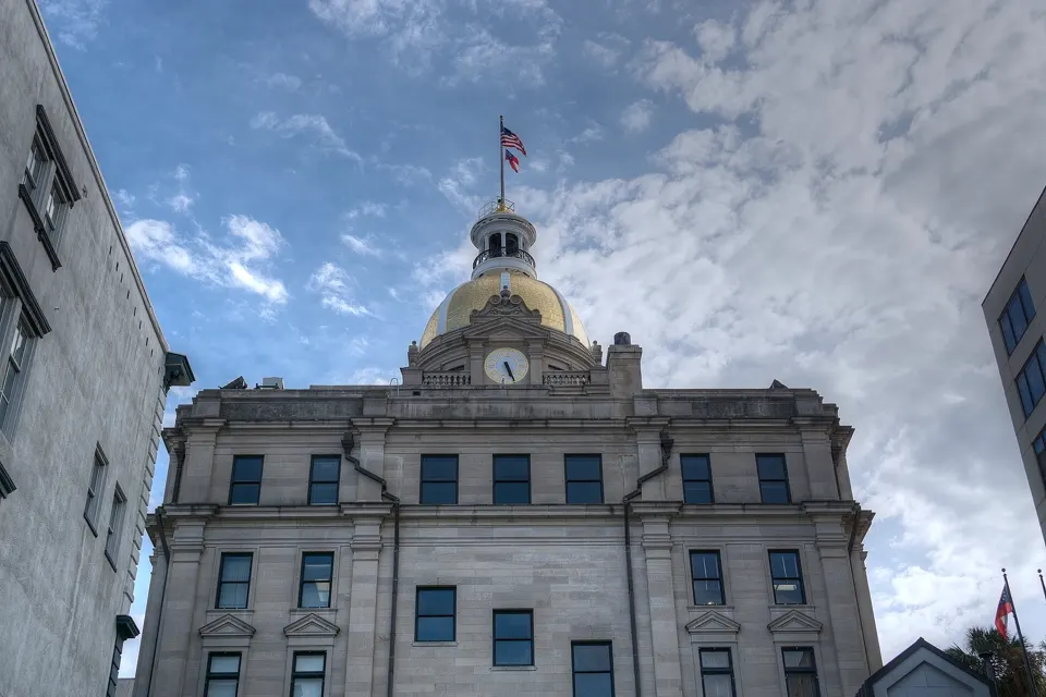
Photo: Savannah City Hall by Stephen Rahn, CC0 1.0.

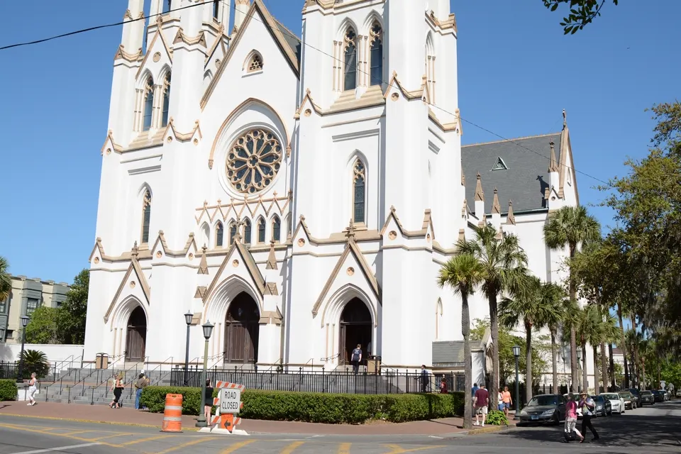
Photo: Cathedral Basilica of St. John the Baptist by bubba73, CC BY-SA 3.0.
